

There is a special atmosphere in the Camargue. This
walk is along water all the way, so no horses or bulls grassing about like in
the interior. It’s the large and graceful flamingos that set the pace along
this walk, except for along the beach up to the “shanty town” of Beauduc. Here
is an eldorado for surfing as well as kite surfing etc. and Beauduc looks quite
respectable compared to the heydays of the 1980’s and 90’s. The walk is really
ideal for cycling (there are a fair number of cyclists around) because of the
monotony of the landscape.
 |
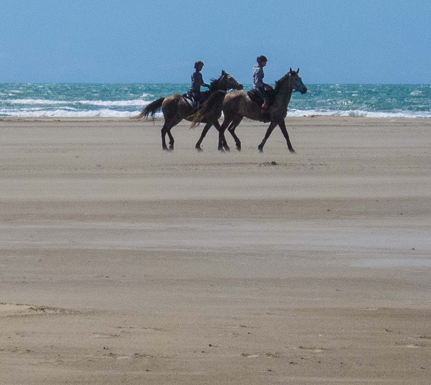
| Beauduc |
You could actually drive all the way to Beauduc, but
the road is terrible at times and takes about 30 minutes longer to drive each
way (from Arles). The road to Beauduc starts at the ruins of Tourvieille, but
you need to access the road from the north (D36C) as it’s blocked directly out
from Salin de Giraud, just after Faraman.

From Arles, follow signs for Camargue and Salin de
Giraud (D36). Turn right at Peaudure (6 km after le Sambuc) and drive on for 4
km. At the T-junction here, turn right. At the next T-junction (2,5 km) turn
left. After almost 4 km along the road here, you are by the north end of Etang
du Fangassier (a good half an hour’s drive from Arles), and you drive on to the
dike for a short while till you see signs for the parking on each side of the dike.

You will reach the beach 30 minutes from the parking
lot, and you can now follow the beach southwards towards Beauduc or
alternatively take one of the inland roads. After about 50 minutes (just under
3 hours from the car) walking along the sandy beach (find the hard patches),
you reach a long barrier of wooden poles right across the beach to prevent cars
from going into the area you are walking. Here you see some of the activity
going on at Beauduc; mainly kite surfing.

The return to the car is about 1h 45min from this
barrier, and you start by crossing the barrier and turn left inland, following
the same general direction as the barrier, and often most easily by following
the car tracks. After about 10 minutes you will reach a large car park (not
marked as such) with a small road going off into the woods straight south. This
is the road for the actual Beauduc, and the road to take if you want to explore
the coast line south of Beauduc.

The road back to the car is simply to follow the main
road out from Beauduc, walking in north-easterly direction from this car park.
You will soon pass a large garbage container and continue on in the same
general direction. After about 35 minutes from the car park, you will meet a
T-junction. Here, car traffic has to turn right (south), but you turn left for
your car. From here it will take you about 1h along this dike to the car. In
April and May lots of flamingos to see on each side of the dike along here.
Basic information:
Duration: 6h (including 1h for lunch)
Distance: 18 km.
Ascent: 2 m
Difficulty: Easy (but could be water on tracks and
soft sand along the beach)
Start/finish: Etang du Fangassier – the dike at the
northern end
Map: IGN Camargue –
Alpilles (1:75.000 and 1:25.000)
VisoRando Lien.
Pour le fichier GPX,
vous pouvez télécharger à partir d'ici (voir ci-dessus) ou mettre à jour via ce
lien VisoRando où vous pourrez également voir l'itinéraire sur une bonne carte:
For the GPX-file, you
could download from here (see just above) or go to this VisoRando link where
you also will see the route on a good
map.
If
you have problems with this VisoRando link, download the GPX-file from above
and import it to VisoRando or other application.


 |
| Beauduc "Port" |

No comments:
Post a Comment